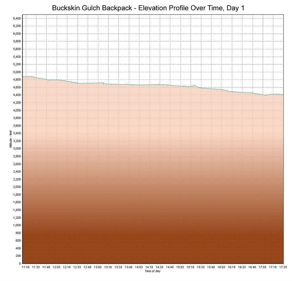
This is a GPS-derived elevation profile of day 1 of our Buckskin Gulch backpack, graphed over time.
This image is from the presentation "Eight in O-Eight: Gulches are Great - Utah 2008".
 Go to presentation where this image occurs.
Go to location in presentation where this image occurs.
Go to presentation where this image occurs.
Go to location in presentation where this image occurs.
Copyright 2001-2016 alavigne.net.