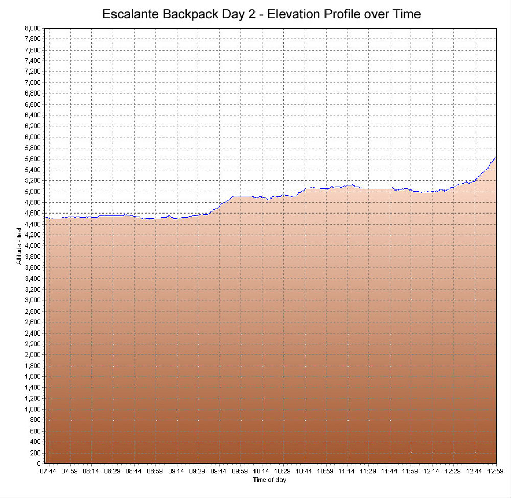
A GPS-derived elevation profile of Day 2 of our backpack, from the mouth of 25-mile Wash back to the Egypt Trailhead, graphed over time.
This image is from the presentation "An aMAZEing Trip to Color Country - The Maze, Escalante, and Zion - Escalante Backpack".
 Go to presentation where this image occurs.
Go to location in presentation where this image occurs.
Go to presentation where this image occurs.
Go to location in presentation where this image occurs.
Copyright 2001-2016 alavigne.net.