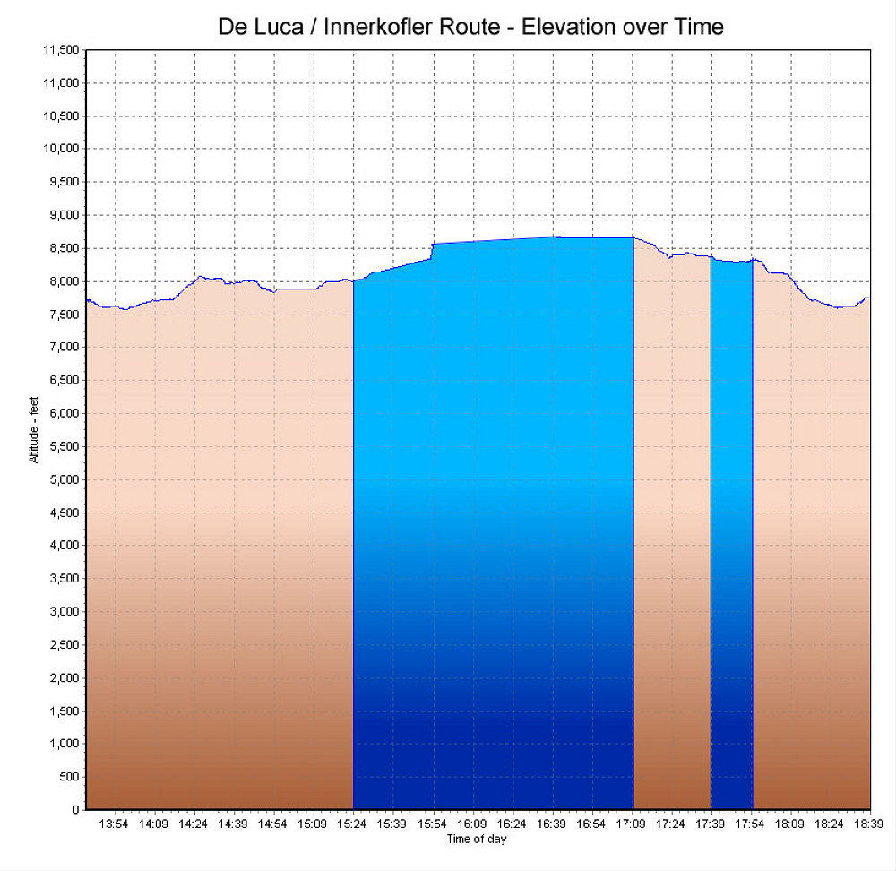
This is a GPS-derived elevation profile of our climb of the De Luca-Innerkofler route, graphed over time.
This image is from the presentation "The Dolomites and Via Ferrata 2007 - De Luca / Innerkofler route and the Sesto Dolomites".
 Go to presentation where this image occurs.
Go to location in presentation where this image occurs.
Go to presentation where this image occurs.
Go to location in presentation where this image occurs.
Copyright 2001-2016 alavigne.net.