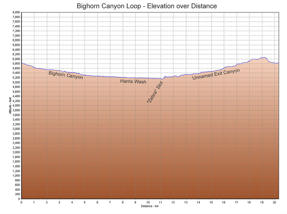
A GPS-derived elevation profile of our Bighorn Loop hike, graphed over distance.
This image is from the presentation "Exploring the Escalante - Bighorn Canyon Loop, Zebra Slot".
 Go to presentation where this image occurs.
Go to location in presentation where this image occurs.
Go to presentation where this image occurs.
Go to location in presentation where this image occurs.
Copyright 2001-2016 alavigne.net.