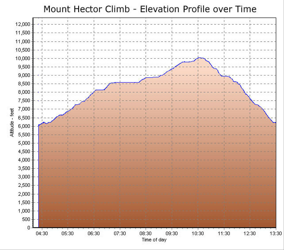
This is the GPS-derived elevation profile (over time) of our aborted climb of Mt. Hector (we did not reach the top).
This image is from the presentation "A Rocky Road Trip - Maps and Graphs".
 Go to presentation where this image occurs.
Go to location in presentation where this image occurs.
Go to presentation where this image occurs.
Go to location in presentation where this image occurs.
Copyright 2001-2016 alavigne.net.