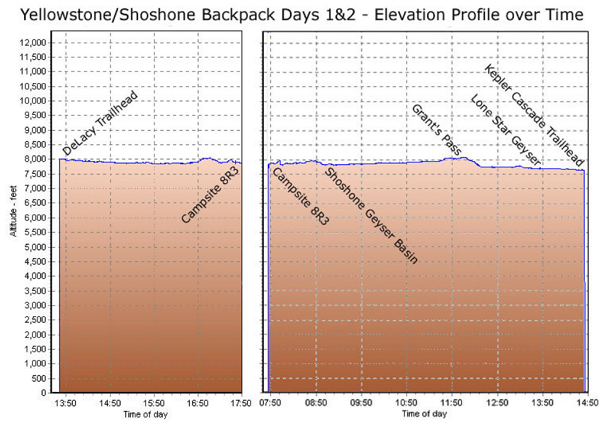
This is a GPS-derived elevation profile, over time, of the entire 2-day Shoshone Lake Backpack.
This image is from the presentation "A Rocky Road Trip - Maps and Graphs".
 Go to presentation where this image occurs.
Go to location in presentation where this image occurs.
Go to presentation where this image occurs.
Go to location in presentation where this image occurs.
Copyright 2001-2016 alavigne.net.