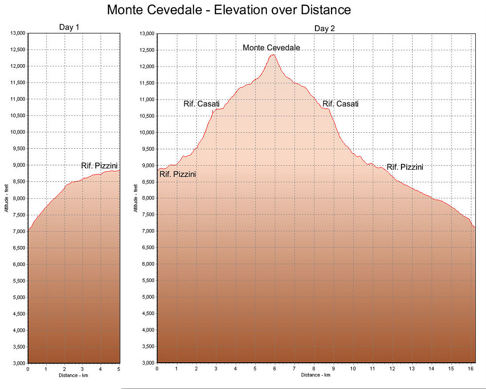
This is a GPS-derived elevation profile of our climb of Mount Cevedale, graphed over distance.
This image is from the presentation "Italy 2005 - The Ortles and Monte Cevedale".
 Go to presentation where this image occurs.
Go to location in presentation where this image occurs.
Go to presentation where this image occurs.
Go to location in presentation where this image occurs.
Copyright 2001-2016 alavigne.net.