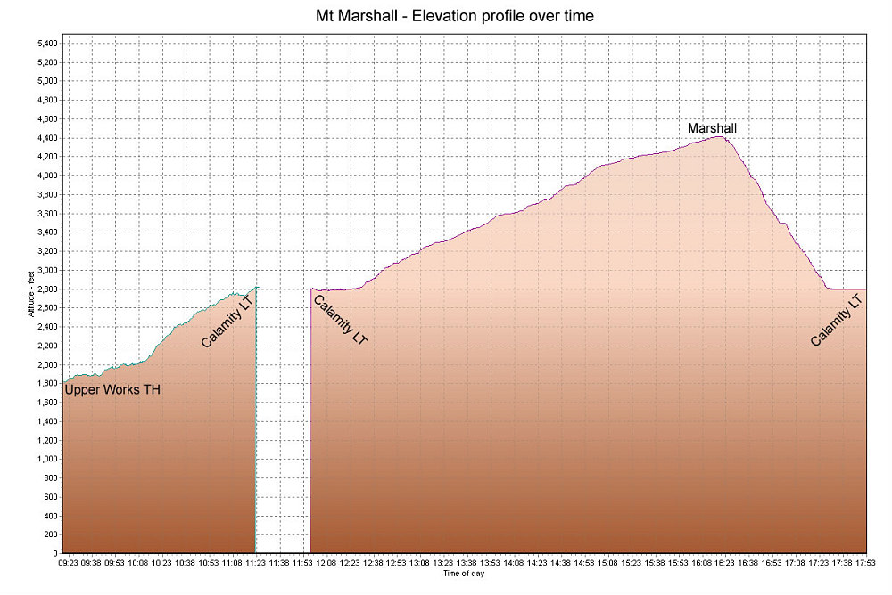
This is a GPS-derived elevation plot of the first day of our 2-day outing to Mt Marshall and Cliff Mtn, graphed over distance (we did Mt Marshall on the first day).
This image is from the presentation "Trailbreaking Marshall and Cliff".
 Go to presentation where this image occurs.
Go to location in presentation where this image occurs.
Go to presentation where this image occurs.
Go to location in presentation where this image occurs.
Copyright 2001-2016 alavigne.net.