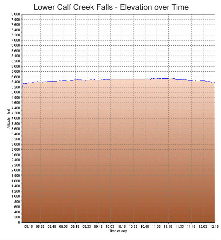
A GPS-derived elevation profile of our hike to Lower Calf Creek Falls, graphed over time.
This image is from the presentation "Exploring the Escalante".
 Back to presentation.
Back to presentation.
Copyright 2001-2016 alavigne.net.