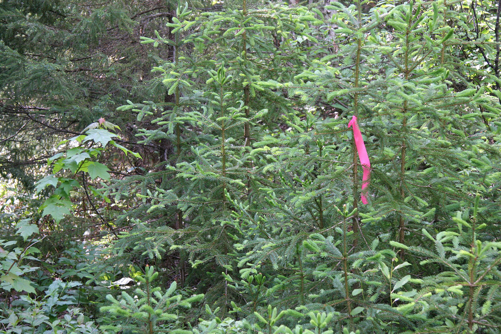
A bit of pinkish survey marker tape marks essentially the end of the bikeable portion and the start of the walking. It also serves as a marker to turn left at this point (an old faint overgrown road forks right at this point). From here on, its all walking!
This image is from the presentation "Ishpatina Ridge - The Highpoint of Ontario".
 Back to presentation.
Back to presentation.
Copyright 2001-2016 alavigne.net.